Neath Canal Walk
Rural Ramble: Vale of Neath Canal Trail
Aberdulais to Resolven
Historic & Geographic Background
Aberdulais Canal Basin was the junction between the Neath Canal (Glyn Neath to Briton Ferry) and the
Tennant Canal (Aberdulais to Port Tennant); and also a loading and transfer point for freight traffic. You will see south of the basin where the Tennant Canal crossed the river Neath on a ftne aqueduct {still extant but in poor condition) followed by a lock.
The Neath Canal was surveyed as far back as 1791 by Thomas Dadford and work commenced in that year; was completed between Abernant (Glyn Neath) and Neath by 1795, and extended to Briton Ferry by 1842. The 17 km/10.5 mile route cost £40,000 and had 19 locks, three of which (Clyne (2) and Resolven) are on this route.
Commercially, it was important carrying 90,000 tonnes of coal in 1810 rising to 150,000 tonnes by 1820 and at its peak 200,000 tonnes, most of it passing to the Tennant Canal at Aberdulais. Decline set in after 1845, the ftnal dividend being paid in 1896; commercial traffic ceased by 1916 though tolls were still raised until 1934 for other traffic.
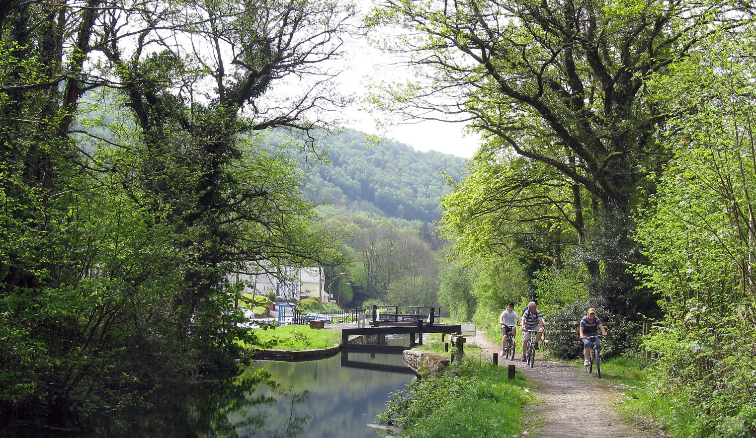
A group of cyclists at Clyne Lock; the towpath doubles as NCN 46
The Walk: Route summary and Terrain
Canal towpath, tracks and pavements; level throughout, but one steep section uphill on a rocky path to view Melincourt Falls; boots or strong trainers recommended.
n.b. this walk is not suitable for disabled people
- Start point: Aberdulais Falls (GR 772994)
- End point: Resolven Canal Basin (GR 827030)
- Recommended break point: Melincourt Falls (GR 825017)
- Recommended Maps: 0.5. Explorer 165/166; 0.5. Landranger 170
- Distance: 10 kilometres (6½ miles)
- Estimated net time: 3 hours (including waterfall)
- Grade: Leisurely to moderate
- Refreshments: Aberdulais National Trust Tea Rooms*, Aberdulais Riverside Restaurant, Canal View Cafe, Ty Banc Cottage, Resolven
- Toilets: Aberdulais National Trust* Aberdulais Riverside Restaurant Resolven Canal Basin
* please note at the time of publication {February 2022, the National Trust at Aberdulais is closed to the public}.
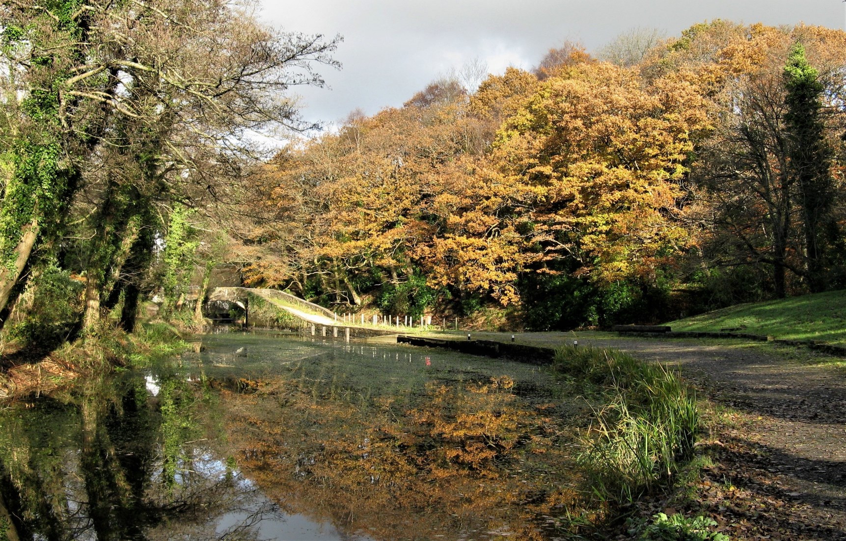
An autumn scene at Aberdulais Canal Basin. The Neath Canal is on the right
The route in detail:
Walking
The walk starts at the entrance to Aberdulais Tin Works and Waterfall (GR 772994}. Cross and turn right along the A4109 road for 50 metres then going sharp left and drop down crossing over the Tennant Canal and under the railway, then turn right to a minor road and crossing the River Neath. Turn left by the restaurant then right alongside the Aberdulais Canal Basin; cross the basin on a skew bridge and from here on it is a straightforward walk on the towpath.
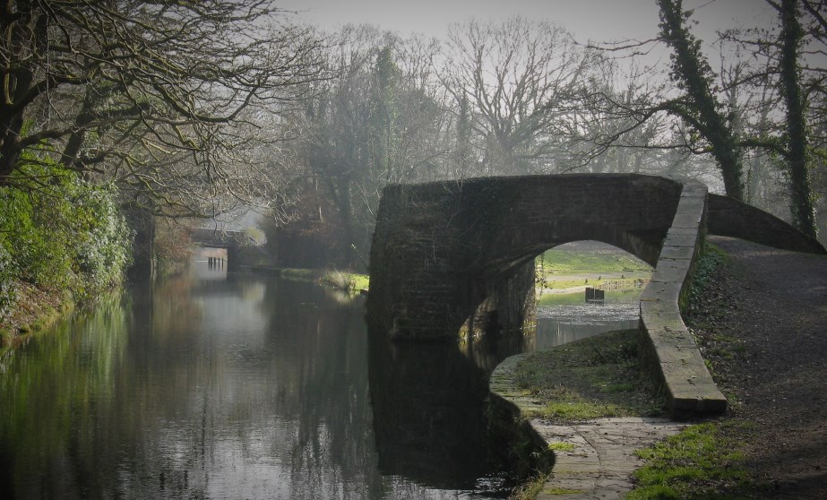
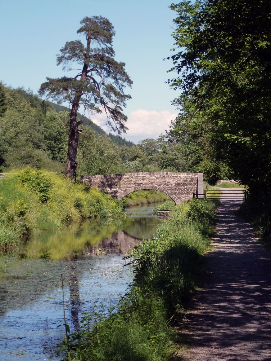
The walk continues parallel to the River Neath on your left; to your right are wooded hillsides as far as the restored Clyne Lock (GR 798002}, where the B4434 road comes alongside the canal. There is a bus stop and limited roadside parking if you wish to start or end the walk here.
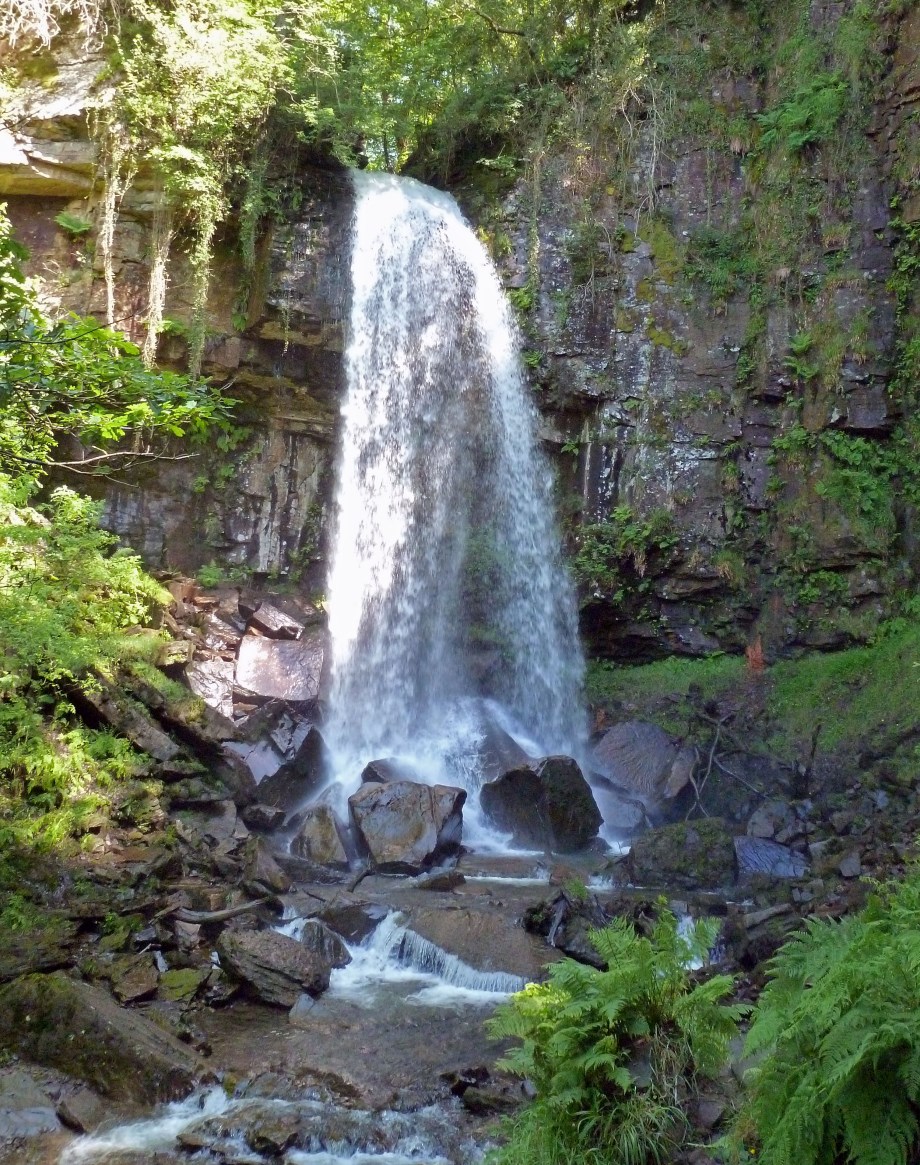
There is then a brief wooded section before the path opens out before crossing the river on the reconstructed Ynysbwllog aqueduct, passing under the A465 road and continuing on the other side of the valley*. Near Abergarwed (GR 817022} the path splits into a broad track; keep to the right hand side following the river bank until you meet a footpath on your right near some large sheds. This takes you over the river, under the A465 and a level crossing over the railway, rising gently to the B4434 road at Melincourt; turn right and drop down for 100 metres before turning left along the short but steep and rocky path to Melincourt Waterfall (GR 825026}; it is well worth the effort!
* please note that a small bridge near Abergarwed (GR816022} is passable but is not a public right of way; an alternative is to use the main road through Abergarwed.
Retrace your steps over the river and railway to the junction of paths, this time following the one to Abergarwed and B4242 road, turn right and walk for one kilometre along the pavement to the road junction with the B4434. Turn right and you will see the canal bed (right}, a cafe and toilets. There is also a small car park. A short walk further along the canal is recommended for its sylvan beauty. About 200 metres on the right hand side, you will find Ty Banc cottage, recently restored by Neath & Tennant Canals Trust and now a base for water activities and the Ty Banc Canal Group. From here, it is a short walk to the link road to the village, passing the restored canal ba- sin (left} and the A465 on a footbridge to the bus stop at John Street (GR 828029}.
Cycling
The Neath Canal towpath is part of NCN 46 and cyclists can join this at Neath Bridge Street or at Aberdulais Basin. It is not recommended that the visit to Melincourt Waterfall is made due to the difficult terrain from Melincourt main road to the waterfall.
Notes:
All distances are given in metric
GR refers to Ordnance Survey grid reference
Local Transport and Parking
- Train Station: Neath 3 kilometres
- Bus Stops: Aberdulais Falls (adjacent to start) Resolven John St (0.25 kilometres)
- Parking: Aberdulais Falls (free but limited) Resolven Canal Basin (free) If coming by car, best to park at Resolven and take bus X8 to Tonna Hospital, walk down the hill towards Aberdulais and join the trail at the Canal Basin.
- Buses: The start is on the X8 and T6 routes, both every hour daytime weekdays; and T6 a limited service on Sundays. The end is on the X7 route every hour daytime weekdays.

